For the second time this year, the Arctic region has experienced unusually warm temperatures.
The first happened last November. According to a report from the Washington Post, Arctic temperatures rose to about 36 degrees Fahrenheit, coinciding with sea ice levels which were at the lowest the world has seen. It was an alarming trend, to say the least, because normally, this should be when sea ice is supposed to be expanding as the sun hardly rises during this period referred to as ‘polar nights’.
The second happened just a few days ago (on December 22) when a weather buoy floating south of the region registered a reading of 32 degrees Fahrenheit (0 degrees Celsius) — the dreaded melting point. Experts are saying that an unusually warm blast of air coming from a storm near Greenland blew northward and this contributed to the rise in temperature. Instead of the minus-20 degrees Fahrenheit (minus-29 degrees Celsius) which was typical for this time of the year, temperature went up to 12 degrees Fahrenheit. While it is natural for big storms to carry huge amounts of hot air into the Arctic and elevate its temperature, what is unnatural is the degree of heat that this particular incident brought.
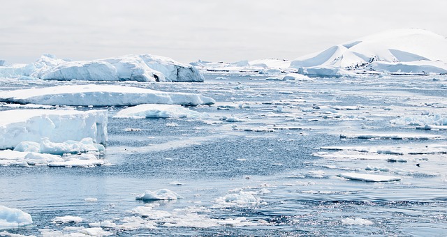
Based on satellite images, a huge ice mass near the Franz Joseph Islands disappeared in one day. Information from the National Snow and Ice Data Center (NSIDC) also showed that around 57,000 square miles of Arctic ice disappeared within the same period. While these statistics still require further confirmation, it shouldn’t really come as a surprise anymore. Especially because we already know for a fact that both the Arctic and the Antarctic have just set their lowest ice mass records this November.
Really, what’s surprising is the fact that we still get surprised about the way things are going. Without major changes in the way the world works, it’s reasonable to expect that record lows (for ice mass) and record highs (for temperatures) will just get surpassed over and over. Maybe it will be warmest this year. Then by next year, it will become even warmer. And the following year, the trend will just continue.
If this feels familiar, it’s because this is almost exactly like what happened last year — when temperatures around the Arctic rose to 50 degrees above normal, and a storm also caused warm air to flow towards the Arctic.
Last year was touted as the hottest year in history. That’s about to change. According to the National Oceanic and Atmospheric Administration (NOAA) Arctic Report Card: “The average surface air temperature for the year ending September 2016 is by far the highest since 1900, and new monthly record highs were recorded for January, February, October and November 2016.”
It’s official. We’re in for hotter times ahead.


Leave a Reply